About Aquifer Susceptibility Maps

Aquifer Susceptibility
Aquifer susceptibility is a measure
of the ease with which water enters and moves through an aquifer. This considers only the physical factors that
affect flow into and through an aquifer, without regard to threats to ground
water from human sources or natural sources of contamination. Aquifer susceptibility sometimes is called
sensitivity.
In order to rate the susceptibility
of aquifers, a weighting and ranking system has been developed. This system considers factors such as rock
type, fractures, faulting, development of caves and other dissolution features,
depth to water, recharge, overlying materials, and permeability.
In general, groundwater reservoirs
such as the Madison aquifer have high to very high susceptibility because of
cave development that allows very fast ground-water velocities and little
filtering of water. Some sandstone
aquifers have medium to high susceptibility, depending on various factors. Rock formations with low permeability and
fine-grained materials, such as silt, typically have low susceptibility.
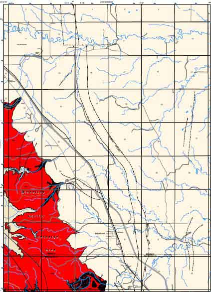
The map at the left shows the
outcrop of the Madison aquifer in red, with a very high susceptibility, largely
because of the following factors: 1) the
ease with which recharge water from streams or the land surface can reach the
aquifer, and 2) the development of karst features such as caves and sinkholes,
which result in high permeability, fast ground-water movement, and very limited
filtering of water.