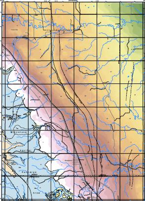
About Depth to Formation Maps

A depth-to-formation map shows the depth of a selected rock unit beneath the Earth's surface through the use of contour lines or colors on a map. If this unit is an aquifer, the depth-to-formation map would be the minimum distance necessary to drill in order to reach the aquifer.
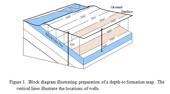
Such maps are constructed by subtracting the elevations of the surface of the unit (structure contours constructed during this study) from the topographic contours shown on U.S. Geological Survey topographic quadrangle maps. For rock layers with gentle inclinations from horizontal, this results in parallel contours or stripes (Fig. 1). Drill depths may differ locally due to the topography, however, and the lines will not be perfectly parallel in such cases. Drill depths will be less in valleys, but the extra cost of drilling required on an adjacent hill may be overcome in the longer term if a holding tank is to be used. The higher elevation allows gravity feed of the water during later usage.
The accuracy of the map is greatest for the shallower depths, nearer the exposed formation. In such areas, accuracy is approximately one half of the contour interval (100 feet in this case). Because there is less information concerning the depth of the formation at greater depths, accuracy is less in those areas.
