Office For Professional Education

Empowering professionals through targeted training and development to promote lifelong learning.

Check out our current offerings!


Drone flying.

Introduction to Electronic Warfare and Counter UAS Systems

Register Now!

This course provides a foundational understanding of modern electronic warfare (EW) concepts and counter-unmanned aerial systems (C-UAS) operations. Participants will explore key principles of electromagnetic spectrum, radar systems, and signal behavior, along with practical insights into detecting and countering small unmanned aircraft. 

Click here for additional information!

image
On-Demand GIS Workshops

Register Now!

Build real-world spatial analysis skills from anywhere. These online workshops are perfect for professionals looking to apply GIS tools across engineering, environmental science, business, and beyond. The class includes live, one-on-one time scheduled with the instructor to answer questions and complete the course.

Concepts discussed in the workshop apply to ArcGIS Pro.

Click here for additional information!


More information


This class has weekly live virtual sessions that are recorded if you are unable to attend live. Completion certificate with professional development hours provided.

Class Hours: Tuesday 5PM-8PM Mountain Time

Course begins – August 25, 2026

Conclusion of course – December 1, 2026

Instructor: Instructor: Dr. Matt Dunlevy, Founder at Aethero and SkySkopes

Topics:

  • History and principles of Electronic Warfare
  • Radio Frequency (RF) spectrum fundamentals
  • Radar basics and Doppler principles
  • Line-of-sight signal propagation and interference
  • Introduction to small UAS technologies and flight systems
  • Electronic support (ES) and threat detection
  • Electronic attack (EA) concepts including jamming/spoofing theory
  • Introduction to regulatory policy and legal restrictions on C-UAS operations

Course Description:  

This professional development course provides a targeted introduction to the core principles of electronic warfare (EW), with primary emphasis on applications in counter-unmanned aerial systems (C-UAS). Designed specifically for military personnel, national security professionals, and operators of critical infrastructure such as utilities, the course builds essential foundational knowledge of the electromagnetic spectrum, RF signal propagation, radar operation, and small UAS flight profiles.

Participants explore jamming, spoofing, and signal detection strategies for both tactical and civil drone threats. Through simulations, participants will observe real-time effects of RF interference on drone command-and-control systems and develop analytical skills to evaluate EW tactics. Regulatory constraints, ethical considerations, and evolving UAS challenges in congested electromagnetic environments are examined through case studies and scenario-based discussions, preparing participants for effective operations in national defense and critical infrastructure protection.

Recommend Text:      

  • US DoD Board on Army Science and Technology, Counter-Unmanned Aircraft System (CUAS) Capability for Battalion-and-Below Operations: Abbreviated Version of a Restricted Report, National Academies of Sciences, Engineering, and Medicine, 2018.
  • K. Nichols et. al., Counter Unmanned Aircraft Systems Technologies and Operations, New Prairie Press, 2020.
  • Daniel Cochran et. al., A Comprehensive Approach to Countering Unmanned Aircraft Systems, Joint Airpower Competence Center, 2020.
  • Garik Markarian and Andrew Staniforth, Countermeasures for Aerial Drones, Wiley, 2011.
  • Arthur Holland Michel, Counter-Drone Systems, Center for the Study of the Drone, 2019.

Attendance Policy: Participants are expected to attend or watch more than 70% of program sessions. If unable to attend live, the recording will be available on the D2L course page. If possible, please watch the missed session prior to the next session.

Learning Outcomes: After completion of this course, participants will be able to demonstrate the following:

  • Identify the structures and use of the RF spectrum in C-UAS operations
  • Explain how radar and RF detection systems locate aerial threats
  • Interpret basic signal intelligence gathered through passive and active sensors
  • Recognize the limitations of EQ in congested airspace environments
  • Understand the ethical and legal constraints of domestic EW use

Assignments:

Expectations for the program - Participant must complete all 11 assignments. The assignments are not graded but participants will be provided with feedback on their responses. To complete the program and receive the completion certificate, participants must submit all assignments by December 31, 2026. 

Late Homework Policy: Assignments are due two weeks (typically) from the assigned date.

Computer Usage: MS Teams, D2L, Internet Browser (Chrome recommended, Firefox, IE) Kahoot.it, MS Office Products.

Internet Requirement: Sufficient internet connection to live-stream audio and visual media.

For issues with D2L or university access issues, please contact OPE@sdsmt.edu.
OPE Phone: 605-394-1275

The class is online and includes live, one-on-one time scheduled with the instructor to answer questions and complete the course.

Concepts discussed in the workshop apply to ArcGIS Pro.

Note: If you do not receive a GIS Workshop confirmation email within a day or two of registering, please email OPE@sdsmt.edu to inquire.

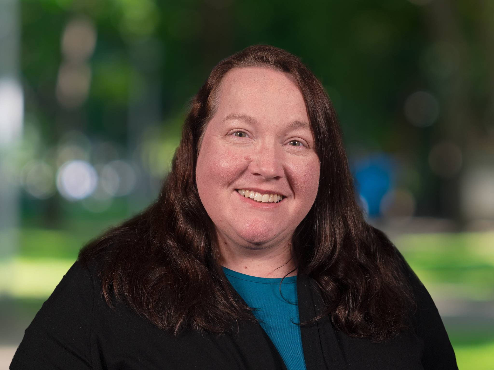
Instructor: Victoria Karnes

Intro to ArcGIS I: Mapping with GIS
This workshop is designed for people with no previous GIS experience. It covers the basics on how ArcGIS stores and manages map data and introduces participants to making maps and working with GIS data sets and data tables. GIS data storage, creating maps, publishing map layouts, and working with tables are all covered. It also includes an overview of commonly used sources of GIS data and how to adapt them for your own use. (Tuition includes license for Mastering ArcGIS or Mastering ArcGIS Pro e-textbook)

Background required: Familiarity with Windows and Internet browsers

Intro to ArcGIS II: GIS Analysis
This workshop is designed for people who want an introduction to the types of spatial analysis possible with GIS data. It introduces many key GIS techniques, including how to conduct a suitability study based on multiple criteria, analyze spatial relationships between layers, work with topographic data, interpolate values from point data, and solve problems using distance and neighborhood factors. (Tuition includes license for Mastering ArcGIS or Mastering ArcGIS Pro e-textbook)

Background required: Intro to ArcGIS I workshop or equivalent experience

About the Instructor
Victoria Karnes is the geospatial technology instructor in the Department of Geology and Geological Engineering at South Dakota Mines. She joined the Mines faculty in 2022 after completing her master's degree in space and planetary science at the University of Arkansas. She oversees both the geospatial technology minor and certificate programs at Mines and is responsible for ArcGIS licensing for all South Dakota universities. She also serves as a board member for the Black Hills Digital Mapping Association and enjoys assisting other professors in various research projects across campus. She earned her bachelor's degree in geology from South Dakota Mines in 2019 and specialized in ESRI products, QGIS, and ENVI.

Attendee Feedback
The instructor was very knowledgeable and presented the class clearly.
The workshop helped me with understanding the general concepts.
The class project aspect for each day helped.
The organization was great. The instructor's ability to respond to questions real-time was very useful.


Personnel

Jamie Adelman

Professional Education Coordinator
Phone:  (605) 394-1275 
jamie.adelman@sdsmt.edu
Andrea Brickey

Professor
Phone: (605) 394-1275
andrea.brickey@sdsmt.edu

Contact Our Office

South Dakota Mines
Office for Professional Education
501 E. Saint Joseph St., Rapid City, SD 57701
Andrea Brickey, PhD, PE, Director